Khushab - Vegetation Anomaly
In the late 1990s the fact of the existence of a reactor near Khushab was public knowledge, but not the precise location of the facility. The team of John Pike, Tim Brown and Charles Vick were the first open source analysts to locate this reactor, based on the prominent vegetation anomaly. The entire complex is surrounded by a security fence, and over time the area inside the fence became covered in vegetation, while vegetation in the area outside the fence was overgrazed by local livestock.

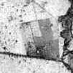
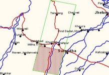
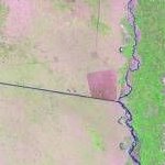
VEGETATION ANOMALY | The Khushab facility is characterized by a rather profound vegetation anomaly, that is visible even in the low resolution browse chips of medium resolution imagery from SPOT and LANDSAT-7. This vegetation anomaly is the result of differential grazing, a product of the security perimeter around the facility. |
| SPOTIMAGE | SPOT-4 |
 |  |
| Data Center | Data Set |
| ECS-EDC | LANDSAT-7 LEVEL-0R WRS-SCENE V002 |
| Data Granule | Path | Row | Cloud
Cover | Geo. Center | Date | Geo. Coverage |
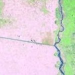
SC:L70RWRS.002:2000162502 | 150 | 38 | 1 | 31.74° Lat, 72.47° Lon |
14 Jul 1999, 05:35:34 |
POLYGON:
32.6968° Lat, 71.6839° Lon;
32.4042° Lat, 73.6885° Lon;
30.7836° Lat, 73.2355° Lon;
31.0711° Lat, 71.2653° Lon;
|
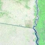
SC:L70RWRS.002:2000538262 | 150 | 38 | 0 | 31.74° Lat, 72.46° Lon | 05 Dec 1999, 05:35:38 |
POLYGON:
32.6970° Lat, 71.6704° Lon;
32.4045° Lat, 73.6756° Lon;
30.7841° Lat, 73.2234° Lon;
31.0715° Lat, 71.2525° Lon;
|
SC:L70RWRS.002:2000743676 | 150 | 38 | 2 | 31.74° Lat, 72.46° Lon | 07 Feb 2000, 05:35:31 |
POLYGON:
32.6971° Lat, 71.6735° Lon;
32.4051° Lat, 73.6783° Lon;
30.7835° Lat, 73.2263° Lon;
31.0704° Lat, 71.2560° Lon;
|
|
NEWSLETTER
|
|
Join the GlobalSecurity.org mailing list
|
|
|


